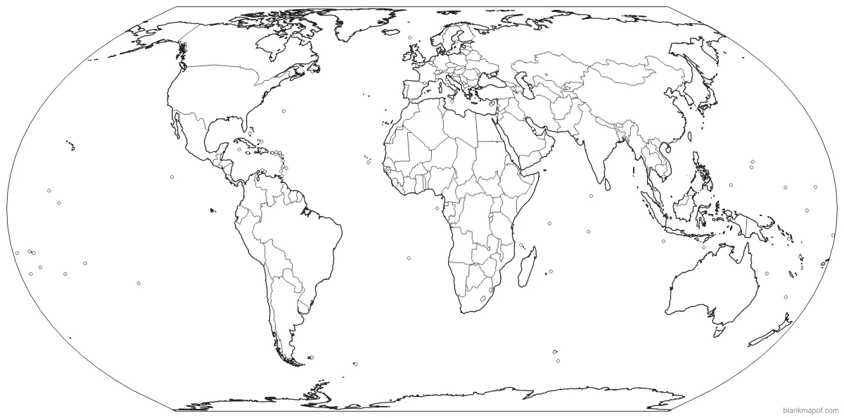
Blank World Map
Every country on Earth, in three classic projections. Outline, borders, labeled or numbered, in Equal Earth, Robinson or Mercator.
- Outline
- Borders
- Labeled
- Numbered
Continents
Blank maps of the 7 continents
Every continent with its country borders, ready to label, color, print or download.
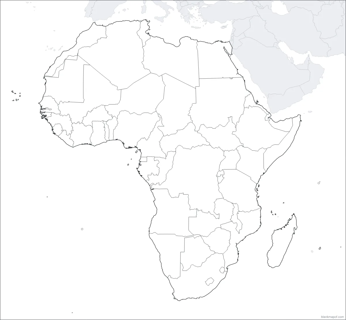
Africa
All 54 countries, from Morocco to South Africa.
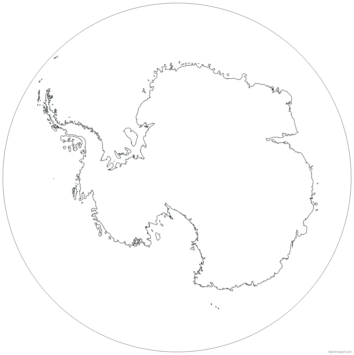
Antarctica
The frozen continent, centered on the South Pole.
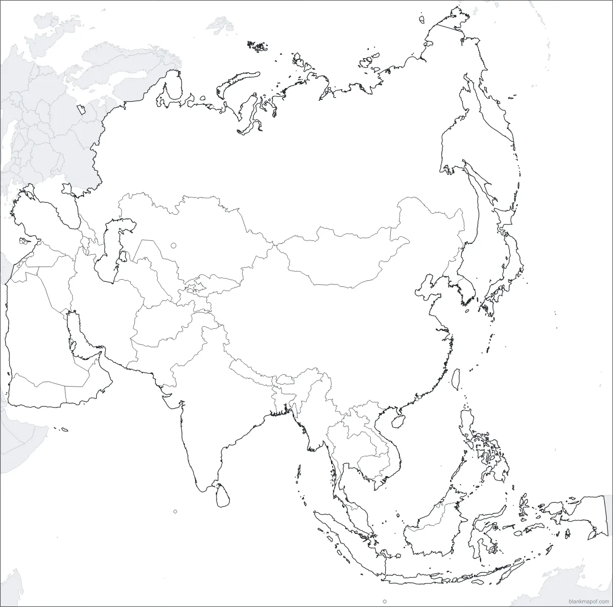
Asia
The largest continent: 48 countries from Turkey to Japan.
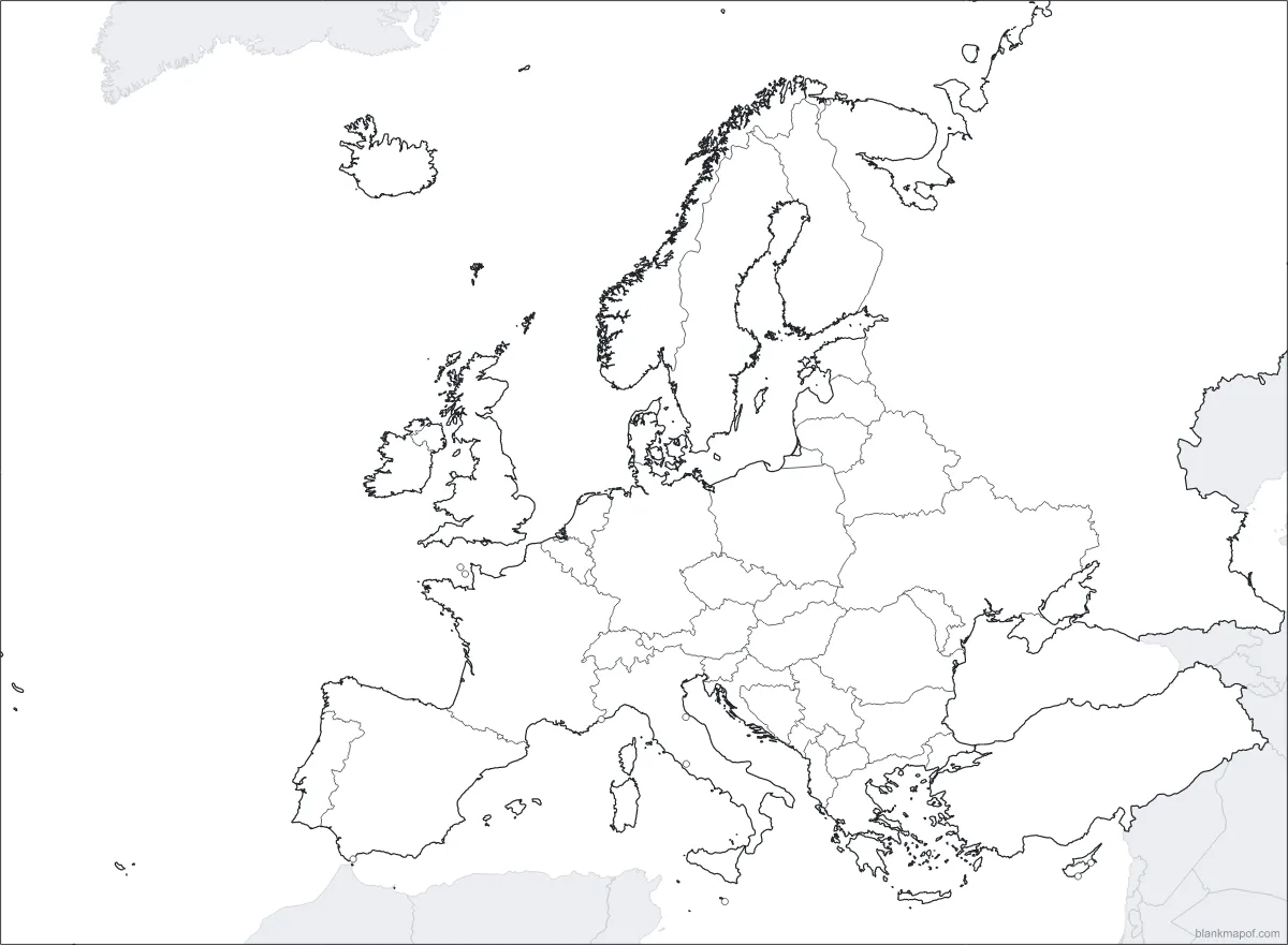
Europe
44 countries, from Iceland to the Urals.
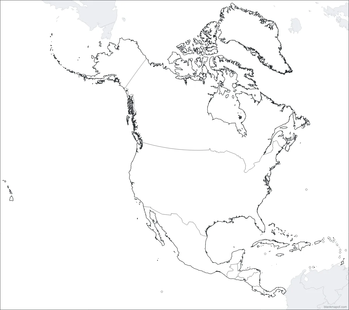
North America
Canada, the US, Mexico, Central America and the Caribbean.
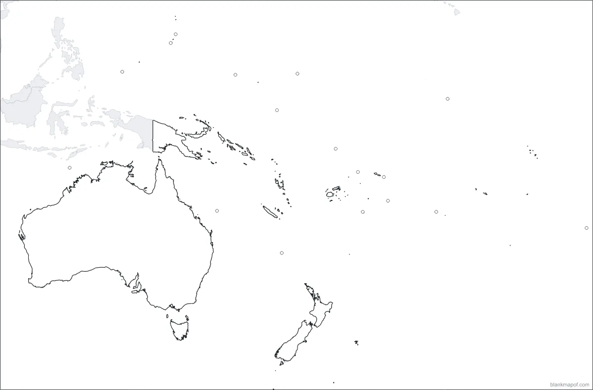
Oceania
Australia, New Zealand and the Pacific islands.
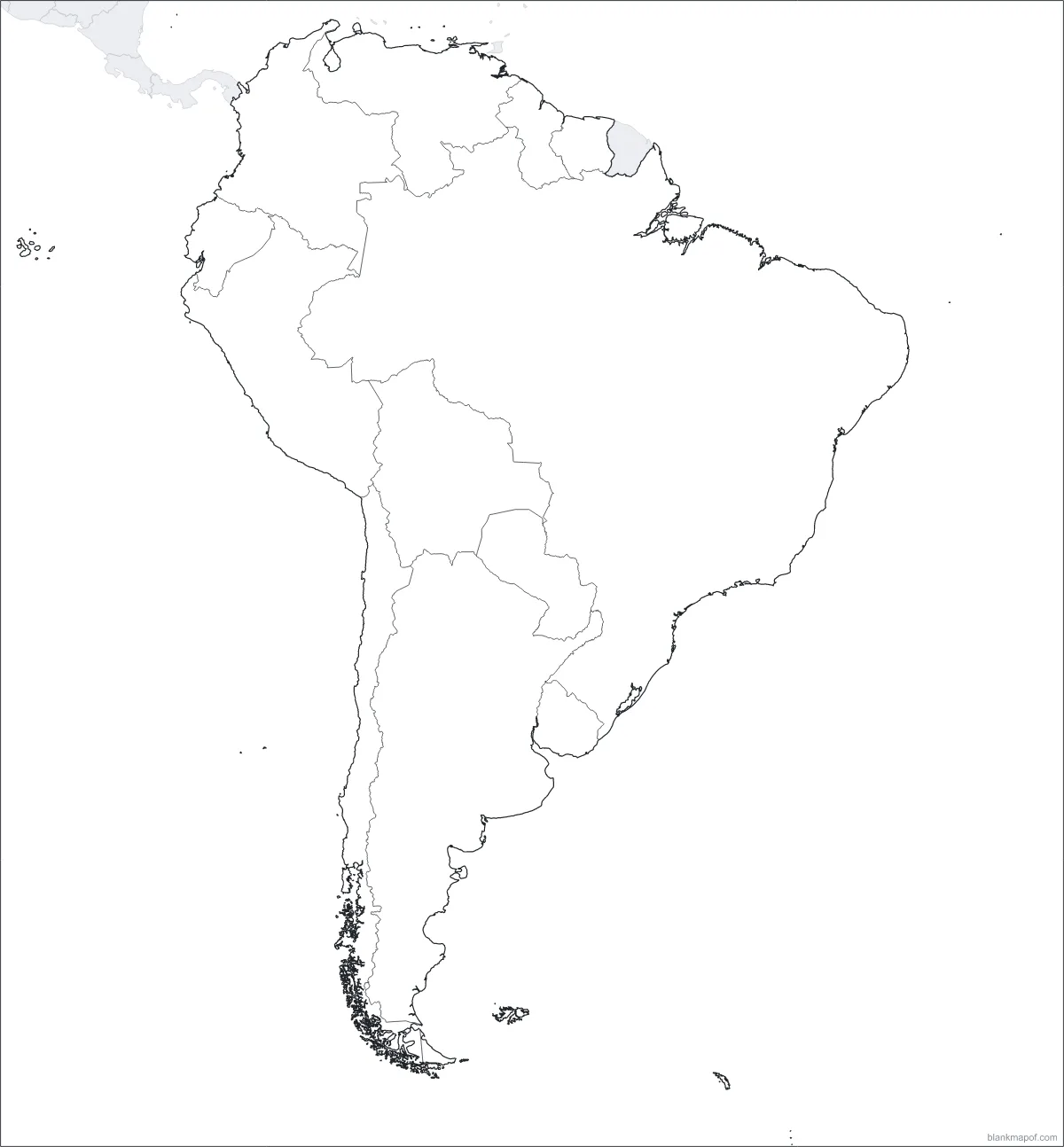
South America
12 countries from Colombia to Tierra del Fuego.
Looking for a country?
Search any country to see it highlighted on its continent map. More country maps are coming soon.
Search a countryCountries
Blank country maps
Countries with every state and province, ready to label, color, print or download.
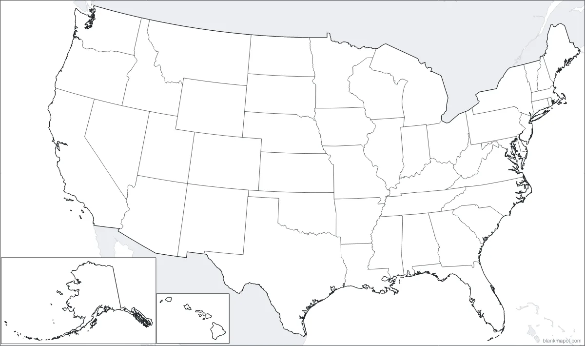
United States
All 50 states.
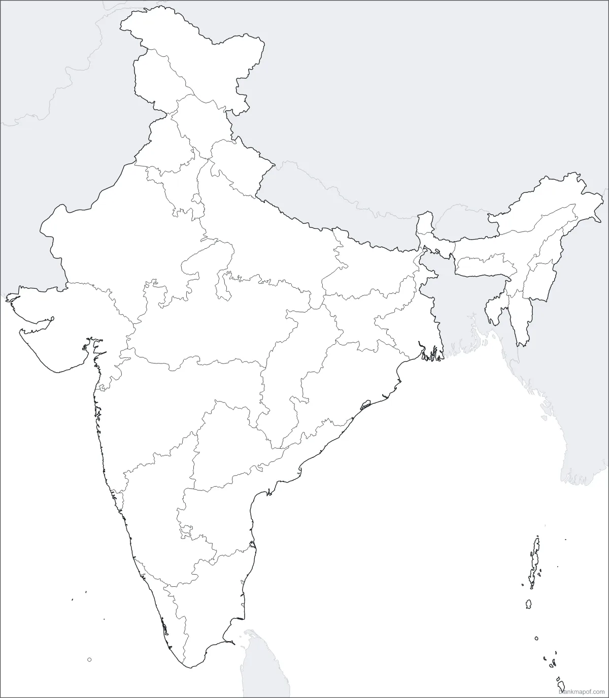
India
All 28 states and 8 union territories.
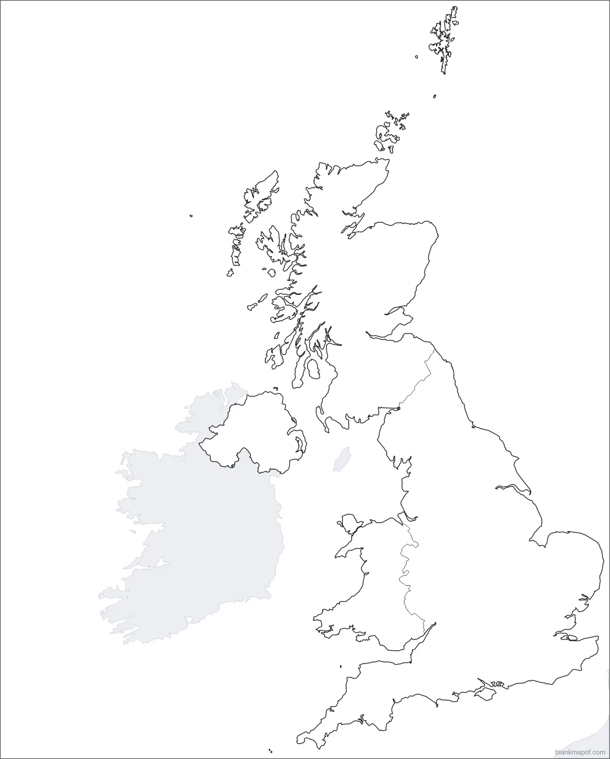
United Kingdom
All 4 countries.
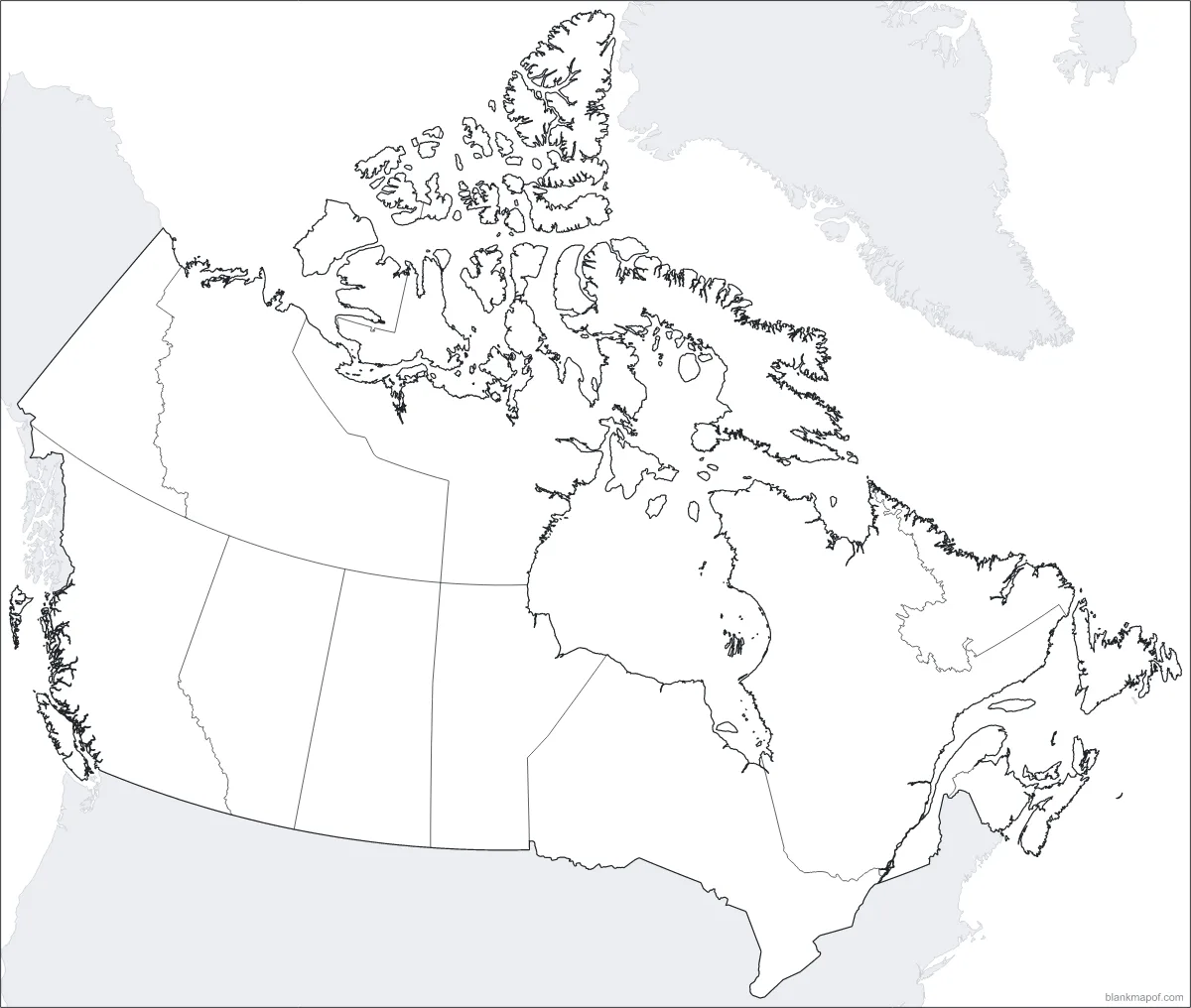
Canada
All 10 provinces and 3 territories.
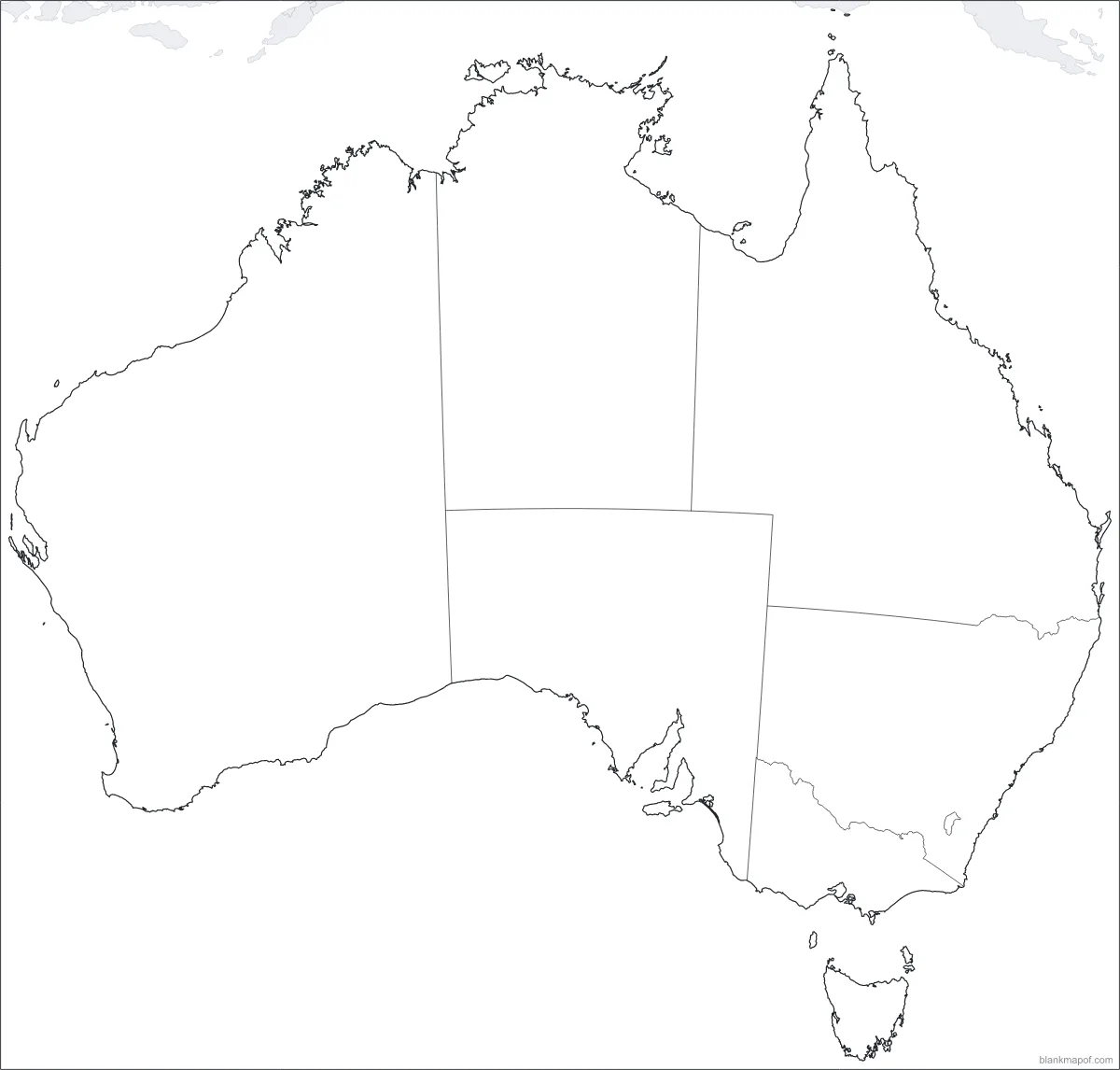
Australia
All 6 states and 2 territories.
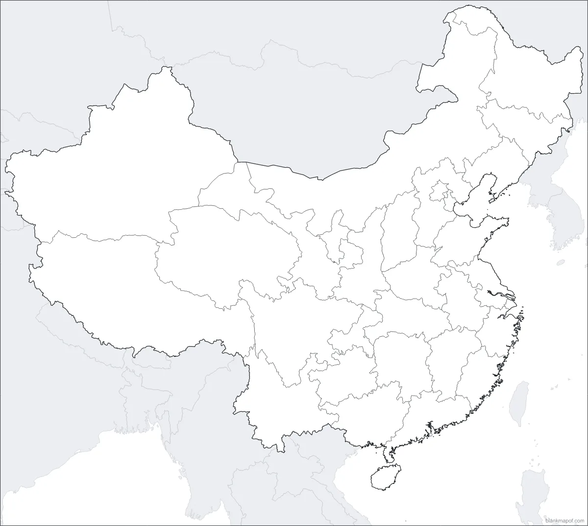
China
All 22 provinces, 5 autonomous regions, 4 municipalities and 2 special administrative regions.
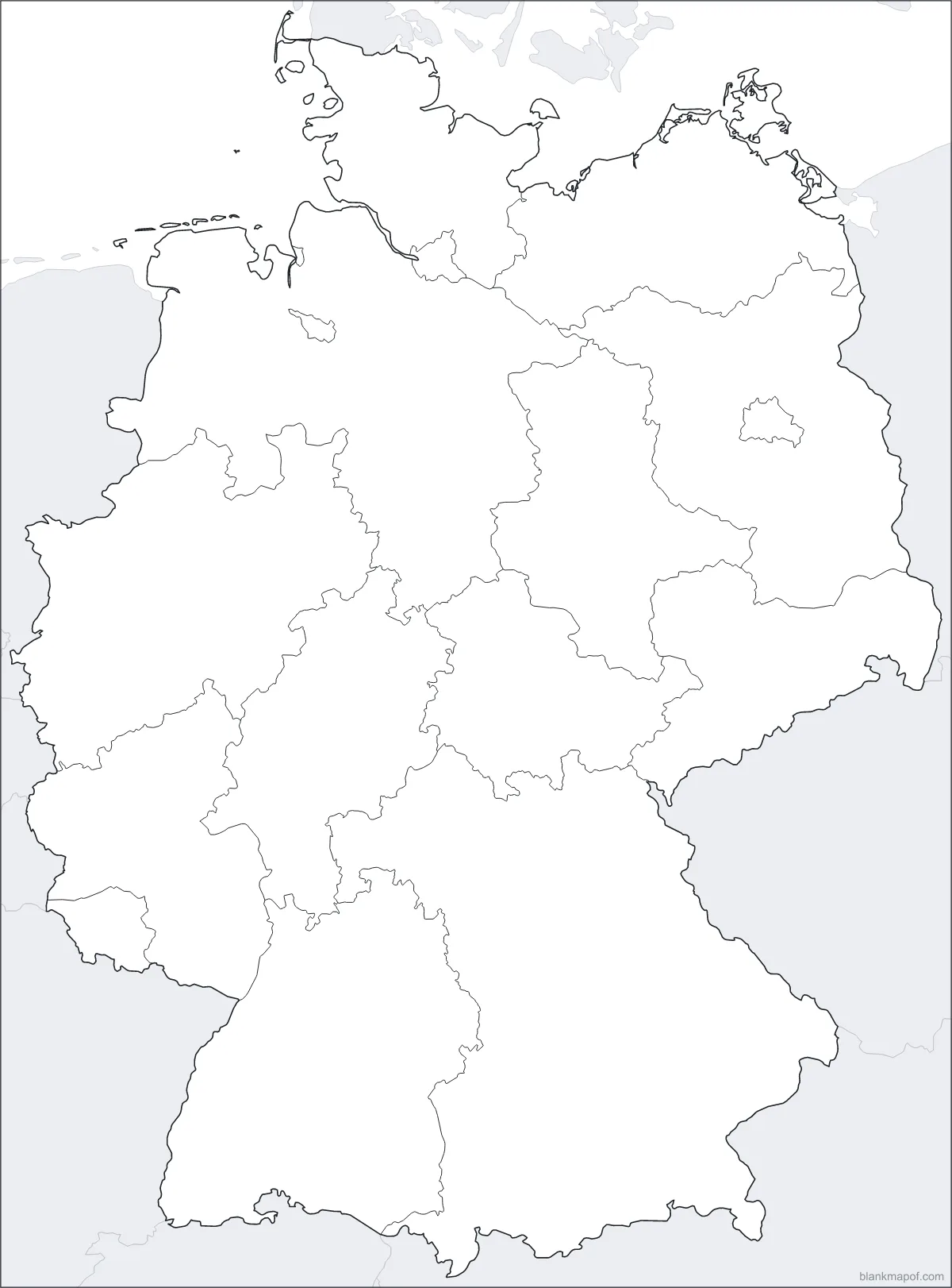
Germany
All 16 states.
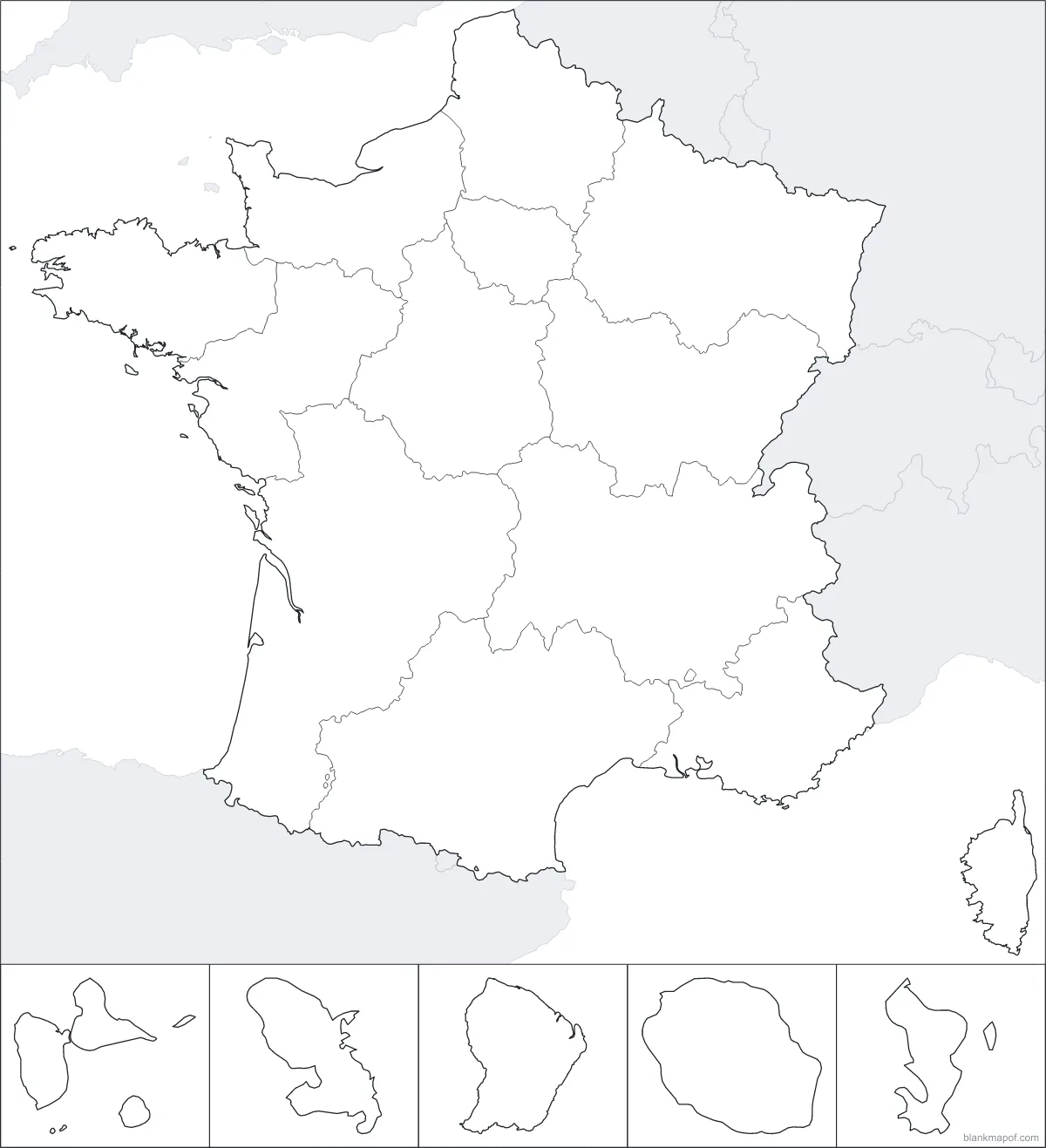
France
All 13 regions and 5 overseas regions.
Simple by design
How it works
From search to download in under a minute.
Find your map
Search for a place or pick a continent.
Choose a style
Outline, borders, labeled or numbered. Change colors and line widths, or paint countries.
Download
SVG, PNG up to 8000 px, JPG, WebP or a PDF sized for A4 or Letter.
Built for real use
Why blankmapof.com
Clean maps that work everywhere you need them: classrooms, slides, posters and print.
Real vector maps
Generated from geographic data, not scanned images. Crisp on a phone, a slide or a wall poster.
Every country is editable
Each country is its own shape. Recolor it here or in Illustrator, Inkscape, Figma or Canva.
Classroom ready
Numbered maps print as worksheets with a name line and a separate answer key.
Tiny countries never vanish
Microstates and islands get dots, so you can still label, number and color them.
Your choice of borders
International (de facto) boundaries by default, with India’s official boundaries one click away.
Free for any use
Personal, educational or commercial. No account, no watermark, no catch.
FAQ
Frequently asked questions
Are the maps really free?
Yes. Every map is free to download and use for personal, classroom and commercial projects. There is no sign-up and no watermark; a small optional credit can be switched off.
What makes these maps different from a normal map image?
They are vector maps generated from real geographic data, not scanned pictures. They stay perfectly sharp at any size, every country is a separate shape you can recolor, and you can export exactly the style you need.
Which formats can I download?
SVG (vector, editable), PNG (up to 8000 px, optional transparent background), JPG, WebP and print-ready PDF in A4 or US Letter.
Do you have maps of countries, states and cities?
The world, every continent and 84 country maps (each with its states, provinces or regions) are live now. More countries are on the way, followed by individual states and provinces. Search for any other country and we will show it highlighted on its continent map.
Can I use the maps for teaching?
Absolutely. Choose the numbered style and download a PDF: you get a worksheet with a name and date line plus an answer key on a second page.
Start with the world map
Every country, three projections and four styles. Ready to download in seconds.