Blank Map of Mali
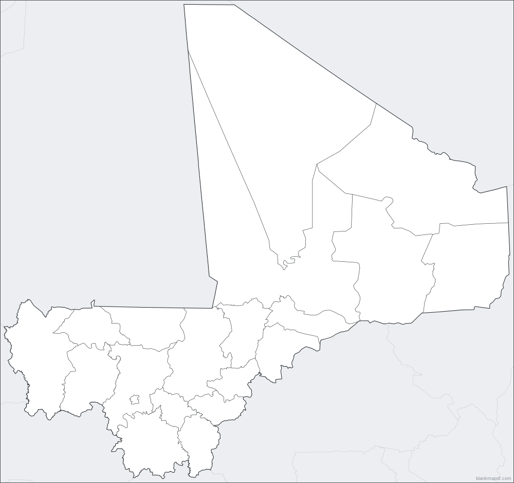
A blank map of Mali showing all 19 regions and 1 district. Choose a style, color it in, and download it free as SVG, PNG, JPG, WebP or PDF.
- 19 regions and 1 district
- Vector SVG
- Print-ready PDF
- Free for any use
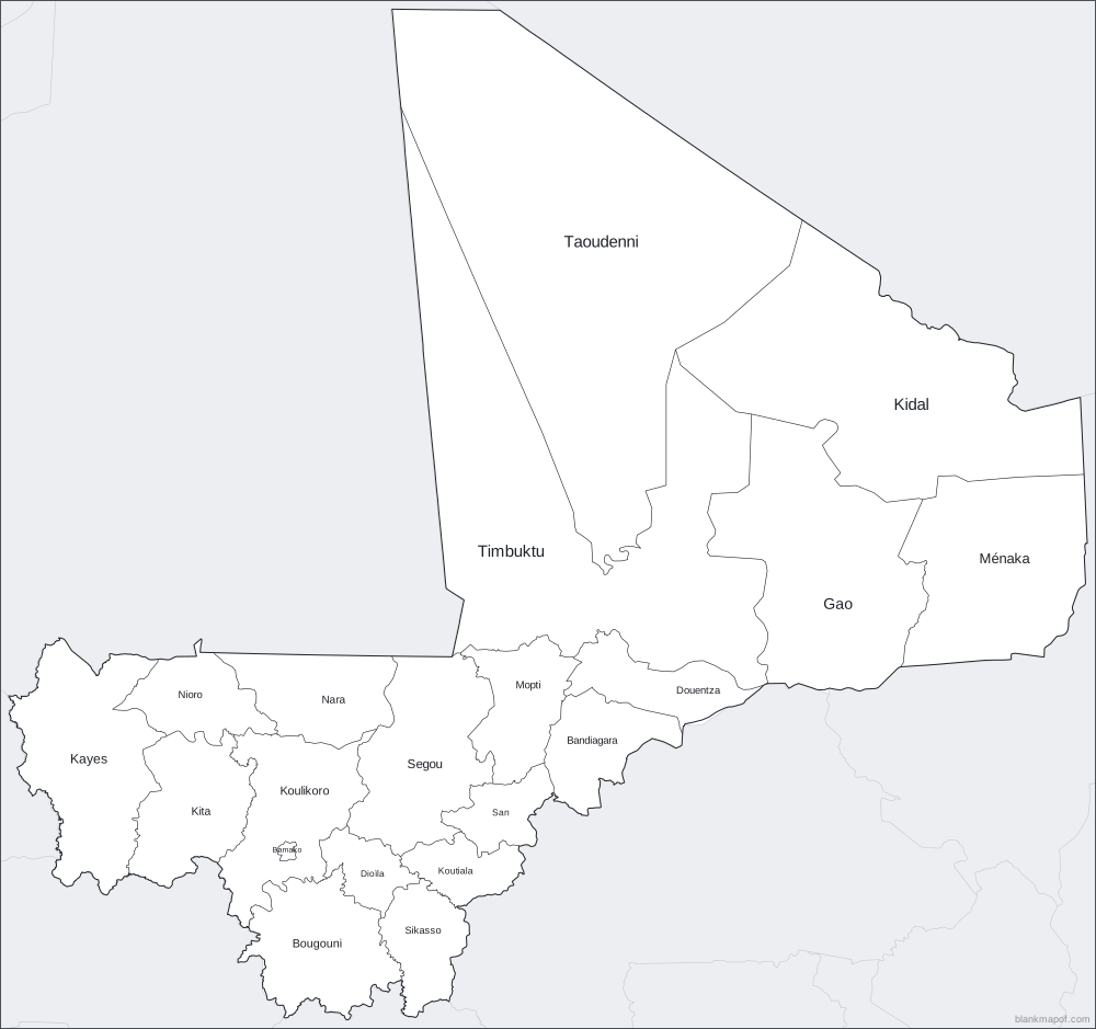
Answer key
- Taoudenni
- Kidal
- Timbuktu
- Ménaka
- Nioro
- Nara
- Mopti
- Douentza
- Gao
- Kayes
- Kita
- Bamako
- Koulikoro
- Dioïla
- Segou
- Koutiala
- San
- Bandiagara
- Bougouni
- Sikasso
Ready-made styles
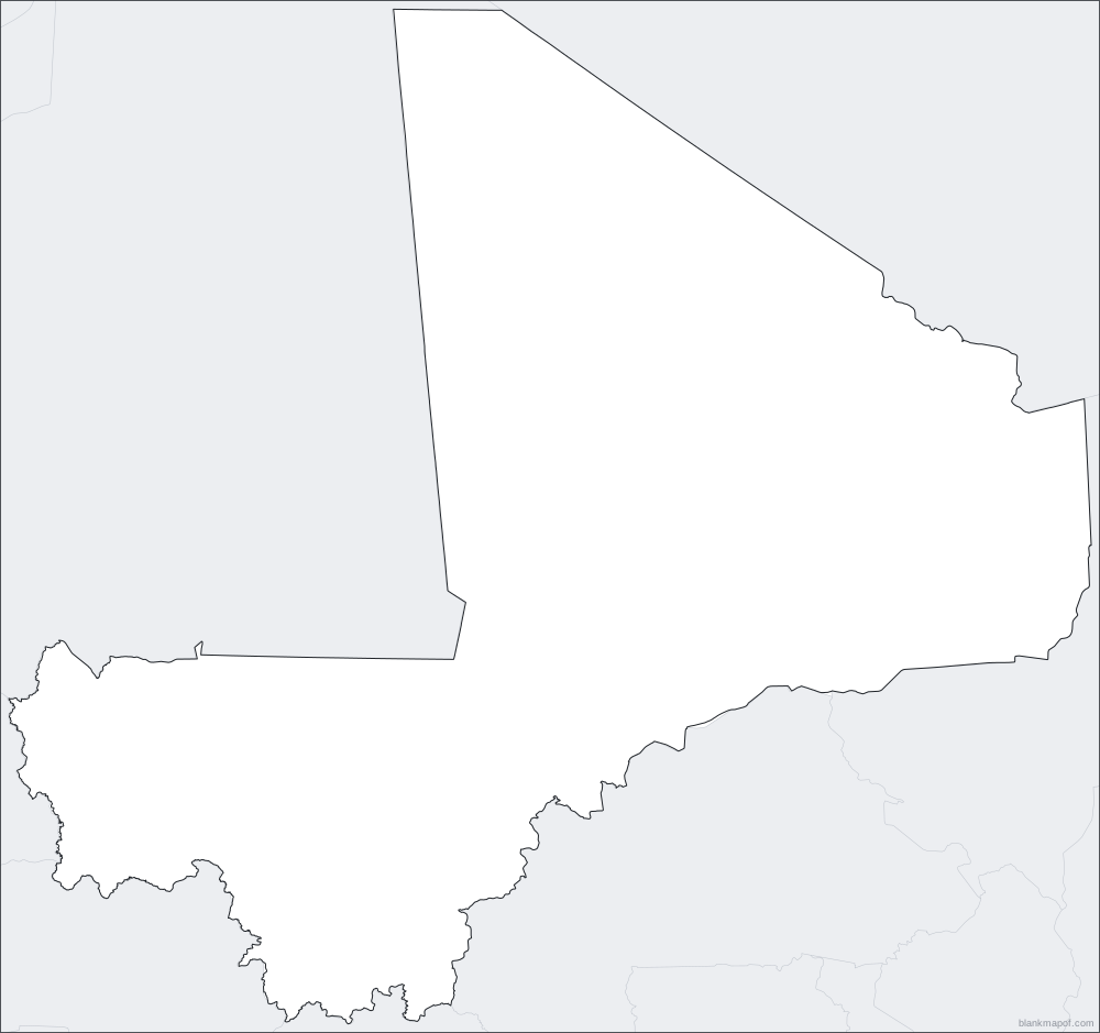
Blank map of Mali styles
Download any style instantly as SVG, or open it in the editor to change colors and export PNG, JPG, WebP or PDF.
Quick facts
About Mali
- Regions
- 19
- District
- 1
- Map projection
- Lambert azimuthal equal-area
Inspiration
Ideas for your blank map of Mali
Geography quizzes
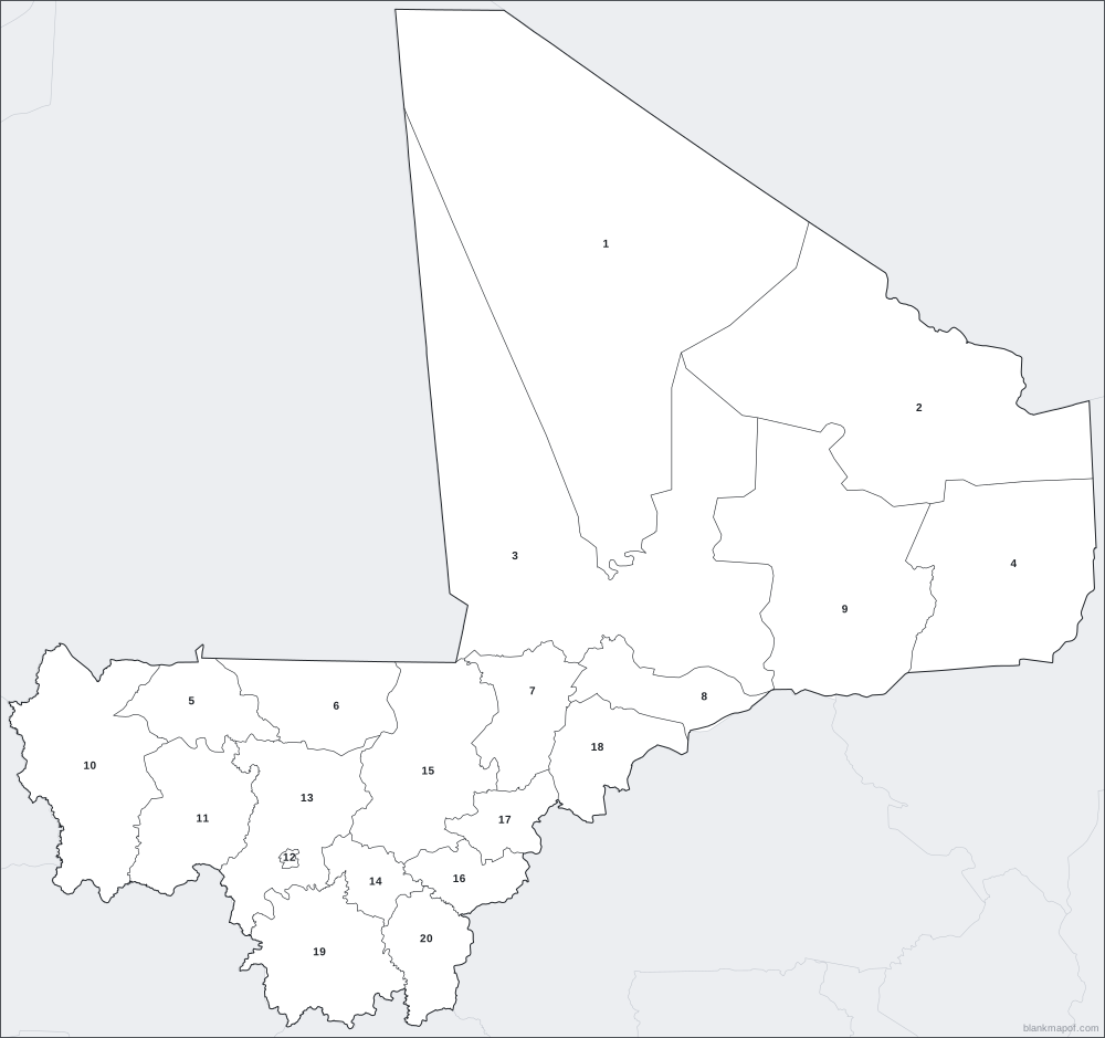
Print the numbered map and ask students to name each region. The answer key is included.
Coloring & art
Kids can color the outline by hand, or you can paint regions here before printing.
Presentations
Drop the SVG or transparent PNG into slides, reports and posters, then recolor it to match your brand.
Data maps
Color regions by any value (population, sales, visits) for a quick hand-made choropleth.
Travel planning
Mark where you have been or want to go and print it for your wall or journal.
History & current events
Sketch routes, empires, trade links or news stories on a clean base map.
Help
Frequently asked questions
Is this blank map of Mali free?
Yes. Every map on blankmapof.com is free for personal, classroom and commercial use, with no sign-up. A small blankmapof.com credit is added by default, and you can switch it off before downloading.
How do I print a blank map of Mali?
Choose PDF, pick A4 or US Letter and download. The map is scaled to fit the page with margins. The numbered version adds a name/date line and a second page with the answer key, so it works as a ready-made worksheet.
Can I edit the map in other software?
Yes. Download the SVG: it is a true vector file with separate shapes for every region, so you can open it in Adobe Illustrator, Inkscape, Figma, Canva, PowerPoint or Google Slides and change anything.
How many regions are in Mali?
Mali has 19 regions and 1 district. All of them are shown on this map, and each one can be colored, labeled or numbered.
Which map projection is used?
This map uses the Lambert azimuthal equal-area projection, chosen so the region keeps a natural shape and true relative sizes where possible.
Where does the map data come from, and whose borders are shown?
Boundaries come from OCHA (Mali Institut Géographique (IGM)), licensed Creative Commons Attribution for Intergovernmental Organisations (CC BY-IGO), because Natural Earth's divisions for Mali are out of date. Coastlines and neighboring countries come from Natural Earth (public domain). This license asks you to credit the source when you share the map.
Keep exploring
More blank maps
South Africa
All 9 provinces.
Egypt
All 27 governorates.
Nigeria
All 36 states and 1 federal capital territory.
Kenya
All 47 counties.
Sudan
All 18 states and 1 special administrative area.
Côte d'Ivoire
All 12 districts and 2 autonomous districts.
Africa
All 54 countries, from Morocco to South Africa.
World
Every country on Earth, in three classic projections.