Blank Map of the World
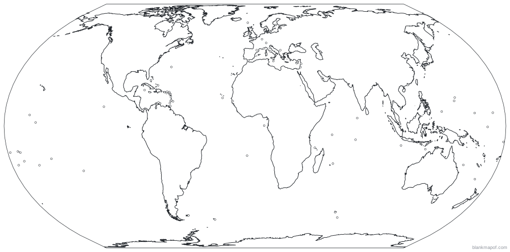
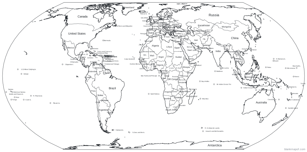
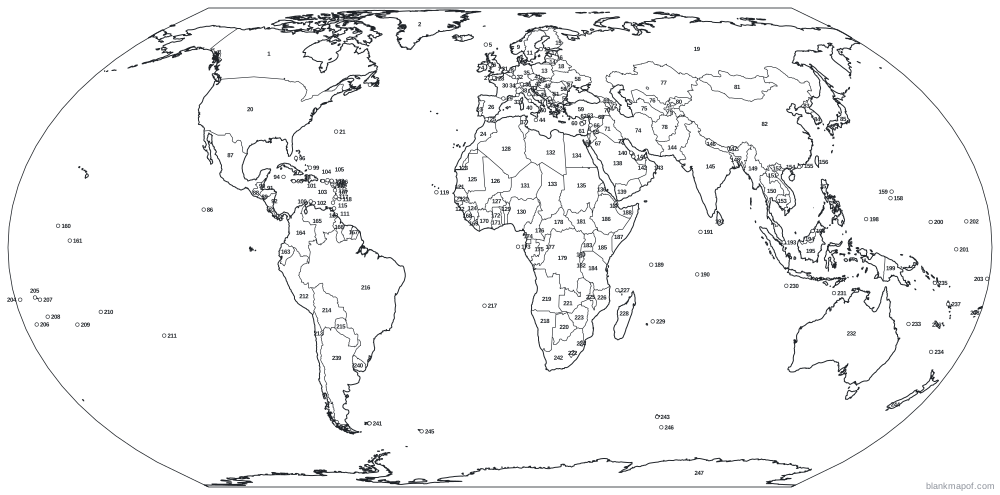
A clean blank world map with every country border. Pick the outline-only version for a pure map of the continents, the labeled version for reference, or the numbered version as a geography quiz. Switch between the Equal Earth, Robinson and Mercator projections.
- 195 countries
- Vector SVG
- Print-ready PDF
- Free for any use
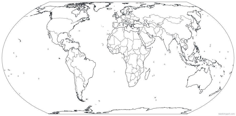
Hover or tap a country to see its name
Answer key
- Canada
- Greenland
- Iceland
- Ireland
- Faeroe Islands
- Isle of Man
- United Kingdom
- Netherlands
- Norway
- Denmark
- Sweden
- Åland Islands
- Poland
- Lithuania
- Finland
- Latvia
- Estonia
- Belarus
- Russia
- United States
- Bermuda
- Saint Pierre and Miquelon
- Portugal
- Morocco
- Gibraltar
- Spain
- Guernsey
- Jersey
- Andorra
- France
- Belgium
- Luxembourg
- Monaco
- Switzerland
- Germany
- Liechtenstein
- Tunisia
- Italy
- San Marino
- Vatican
- Czechia
- Austria
- Slovenia
- Malta
- Croatia
- Hungary
- Bosnia and Herzegovina
- Slovakia
- Montenegro
- Albania
- Serbia
- Kosovo
- North Macedonia
- Greece
- Bulgaria
- Romania
- Moldova
- Ukraine
- Turkey
- Cyprus
- Akrotiri
- Dhekelia
- Northern Cyprus
- Israel
- Palestine
- Lebanon
- Jordan
- Syria
- Georgia
- Armenia
- Iraq
- Azerbaijan
- Kuwait
- Iran
- Turkmenistan
- Uzbekistan
- Kazakhstan
- Afghanistan
- Tajikistan
- Kyrgyzstan
- Mongolia
- China
- North Korea
- South Korea
- Japan
- Clipperton Island
- Mexico
- Guatemala
- El Salvador
- Belize
- Honduras
- Nicaragua
- Costa Rica
- Cayman Islands
- Jamaica
- Bahamas
- Cuba
- Haiti
- Turks and Caicos Islands
- Aruba
- Dominican Republic
- Curaçao
- Puerto Rico
- United States Virgin Islands
- British Virgin Islands
- Saint-Martin
- Sint Maarten
- Anguilla
- Saint Kitts and Nevis
- Saint-Barthélemy
- Grenada
- Montserrat
- Trinidad and Tobago
- Antigua and Barbuda
- Saint Vincent and the Grenadines
- Dominica
- Saint Lucia
- Barbados
- Cabo Verde
- Gambia
- Senegal
- Guinea-Bissau
- Western Sahara
- Guinea
- Mauritania
- Mali
- Burkina Faso
- Algeria
- Benin
- Nigeria
- Niger
- Libya
- Chad
- Egypt
- Sudan
- Eritrea
- Djibouti
- Saudi Arabia
- Yemen
- Bahrain
- Qatar
- United Arab Emirates
- Oman
- Pakistan
- India
- Nepal
- Bhutan
- Bangladesh
- Myanmar
- Thailand
- Laos
- Vietnam
- Cambodia
- Macao
- Hong Kong
- Taiwan
- Philippines
- Guam
- Northern Mariana Islands
- United States Minor Outlying Islands
- Kiribati
- Panama
- Ecuador
- Colombia
- Venezuela
- Guyana
- Suriname
- Sierra Leone
- Liberia
- Côte d'Ivoire
- Ghana
- Togo
- São Tomé and Principe
- Equatorial Guinea
- Gabon
- Cameroon
- Republic of the Congo
- Central African Republic
- Democratic Republic of the Congo
- Rwanda
- South Sudan
- Burundi
- Uganda
- Tanzania
- Kenya
- Ethiopia
- Somalia
- Somaliland
- Seychelles
- British Indian Ocean Territory
- Maldives
- Sri Lanka
- Singapore
- Malaysia
- Indonesia
- Brunei
- Timor-Leste
- Palau
- Papua New Guinea
- Micronesia
- Nauru
- Marshall Islands
- Tuvalu
- Wallis and Futuna Islands
- Samoa
- Tonga
- American Samoa
- Niue
- Cook Islands
- French Polynesia
- Pitcairn Islands
- Peru
- Chile
- Bolivia
- Paraguay
- Brazil
- Saint Helena
- Namibia
- Angola
- Botswana
- Zambia
- Lesotho
- Zimbabwe
- Eswatini
- Malawi
- Mozambique
- Comoros
- Madagascar
- Mauritius
- Indian Ocean Territories
- Ashmore and Cartier Islands
- Australia
- Coral Sea Islands
- Norfolk Island
- Solomon Islands
- New Caledonia
- Vanuatu
- Fiji
- Argentina
- Uruguay
- Falkland Islands
- South Africa
- French Southern and Antarctic Lands
- New Zealand
- South Georgia and the Islands
- Heard I. and McDonald Islands
- Antarctica
Ready-made styles
Blank map of the World styles
Download any style instantly as SVG, or open it in the editor to change colors and export PNG, JPG, WebP or PDF.
Quick facts
About the World
- Countries
- 195 (193 UN members + 2 observer states)
- Continents
- 7
- Land area
- ≈ 149 million km² (57.5 million sq mi)
- Population
- ≈ 8.2 billion
- Largest country
- Russia
- Smallest country
- Vatican City
- Highest point
- Mount Everest, 8,849 m
- Map projection
- Equal Earth (Robinson and Mercator also available)
Figures are rounded and approximate.
On this map
Countries (197)
- Afghanistan
- Albania
- Algeria
- Andorra
- Angola
- Antigua and Barbuda
- Argentina
- Armenia
- Australia
- Austria
- Azerbaijan
- Bahamas
- Bahrain
- Bangladesh
- Barbados
- Belarus
- Belgium
- Belize
- Benin
- Bhutan
- Bolivia
- Bosnia and Herzegovina
- Botswana
- Brazil
- Brunei
- Bulgaria
- Burkina Faso
- Burundi
- Cabo Verde
- Cambodia
- Cameroon
- Canada
- Central African Republic
- Chad
- Chile
- China
- Colombia
- Comoros
- Costa Rica
- Côte d'Ivoire
- Croatia
- Cuba
- Cyprus
- Czechia
- Democratic Republic of the Congo
- Denmark
- Djibouti
- Dominica
- Dominican Republic
- Ecuador
- Egypt
- El Salvador
- Equatorial Guinea
- Eritrea
- Estonia
- Eswatini
- Ethiopia
- Fiji
- Finland
- France
- Gabon
- Gambia
- Georgia
- Germany
- Ghana
- Greece
- Grenada
- Guatemala
- Guinea
- Guinea-Bissau
- Guyana
- Haiti
- Honduras
- Hungary
- Iceland
- India
- Indonesia
- Iran
- Iraq
- Ireland
- Israel
- Italy
- Jamaica
- Japan
- Jordan
- Kazakhstan
- Kenya
- Kiribati
- Kosovo
- Kuwait
- Kyrgyzstan
- Laos
- Latvia
- Lebanon
- Lesotho
- Liberia
- Libya
- Liechtenstein
- Lithuania
- Luxembourg
- Madagascar
- Malawi
- Malaysia
- Maldives
- Mali
- Malta
- Marshall Islands
- Mauritania
- Mauritius
- Mexico
- Micronesia
- Moldova
- Monaco
- Mongolia
- Montenegro
- Morocco
- Mozambique
- Myanmar
- Namibia
- Nauru
- Nepal
- Netherlands
- New Zealand
- Nicaragua
- Niger
- Nigeria
- North Korea
- North Macedonia
- Norway
- Oman
- Pakistan
- Palau
- Palestine
- Panama
- Papua New Guinea
- Paraguay
- Peru
- Philippines
- Poland
- Portugal
- Qatar
- Republic of the Congo
- Romania
- Russia
- Rwanda
- Saint Kitts and Nevis
- Saint Lucia
- Saint Vincent and the Grenadines
- Samoa
- San Marino
- São Tomé and Principe
- Saudi Arabia
- Senegal
- Serbia
- Seychelles
- Sierra Leone
- Singapore
- Slovakia
- Slovenia
- Solomon Islands
- Somalia
- South Africa
- South Korea
- South Sudan
- Spain
- Sri Lanka
- Sudan
- Suriname
- Sweden
- Switzerland
- Syria
- Taiwan
- Tajikistan
- Tanzania
- Thailand
- Timor-Leste
- Togo
- Tonga
- Trinidad and Tobago
- Tunisia
- Turkey
- Turkmenistan
- Tuvalu
- Uganda
- Ukraine
- United Arab Emirates
- United Kingdom
- United States
- Uruguay
- Uzbekistan
- Vanuatu
- Vatican
- Venezuela
- Vietnam
- Yemen
- Zambia
- Zimbabwe
Territories and other areas (50)
- Akrotiri
- Åland Islands
- American Samoa
- Anguilla
- Antarctica
- Aruba
- Ashmore and Cartier Islands
- Bermuda
- British Indian Ocean Territory
- British Virgin Islands
- Cayman Islands
- Clipperton Island
- Cook Islands
- Coral Sea Islands
- Curaçao
- Dhekelia
- Faeroe Islands
- Falkland Islands
- French Polynesia
- French Southern and Antarctic Lands
- Gibraltar
- Greenland
- Guam
- Guernsey
- Heard I. and McDonald Islands
- Hong Kong
- Indian Ocean Territories
- Isle of Man
- Jersey
- Macao
- Montserrat
- New Caledonia
- Niue
- Norfolk Island
- Northern Cyprus
- Northern Mariana Islands
- Pitcairn Islands
- Puerto Rico
- Saint Helena
- Saint Pierre and Miquelon
- Saint-Barthélemy
- Saint-Martin
- Sint Maarten
- Somaliland
- South Georgia and the Islands
- Turks and Caicos Islands
- United States Minor Outlying Islands
- United States Virgin Islands
- Wallis and Futuna Islands
- Western Sahara
Select a name to highlight it on the map. Names with an arrow open their own detailed map.
Inspiration
Ideas for your blank map of the World
Geography quizzes
Print the numbered map and ask students to name each country. The answer key is included.
Coloring & art
Kids can color the outline by hand, or you can paint countries here before printing.
Presentations
Drop the SVG or transparent PNG into slides, reports and posters, then recolor it to match your brand.
Data maps
Color countries by any value (population, sales, visits) for a quick hand-made choropleth.
Travel planning
Mark where you have been or want to go and print it for your wall or journal.
History & current events
Sketch routes, empires, trade links or news stories on a clean base map.
Help
Frequently asked questions
Is this blank map of the World free?
Yes. Every map on blankmapof.com is free for personal, classroom and commercial use, with no sign-up. A small blankmapof.com credit is added by default, and you can switch it off before downloading.
How do I print a blank map of the World?
Choose PDF, pick A4 or US Letter and download. The map is scaled to fit the page with margins. The numbered version adds a name/date line and a second page with the answer key, so it works as a ready-made worksheet.
Can I edit the map in other software?
Yes. Download the SVG: it is a true vector file with separate shapes for every country, so you can open it in Adobe Illustrator, Inkscape, Figma, Canva, PowerPoint or Google Slides and change anything.
How many countries are there in the world?
There are 195 countries: 193 United Nations member states plus 2 observer states (Vatican City and Palestine). The map also shows dependent territories such as Greenland and Puerto Rico.
Which map projection is used?
This map uses the Equal Earth (Robinson and Mercator also available) projection, chosen so the region keeps a natural shape and true relative sizes where possible.
Where does the map data come from, and whose borders are shown?
Boundaries come from Natural Earth, a public-domain dataset. By default the map shows de facto (on-the-ground) boundaries. Where it makes a difference, you can switch to India’s official boundaries, which include all of Jammu & Kashmir and Ladakh.
Which projection should I use for a blank world map?
Equal Earth keeps countries at their true relative size, so it is best for classrooms and data maps. Robinson is a familiar compromise used in many atlases. Mercator is the classic wall-map and web-map look, but it greatly enlarges places near the poles such as Greenland and Russia.
Keep exploring
More blank maps
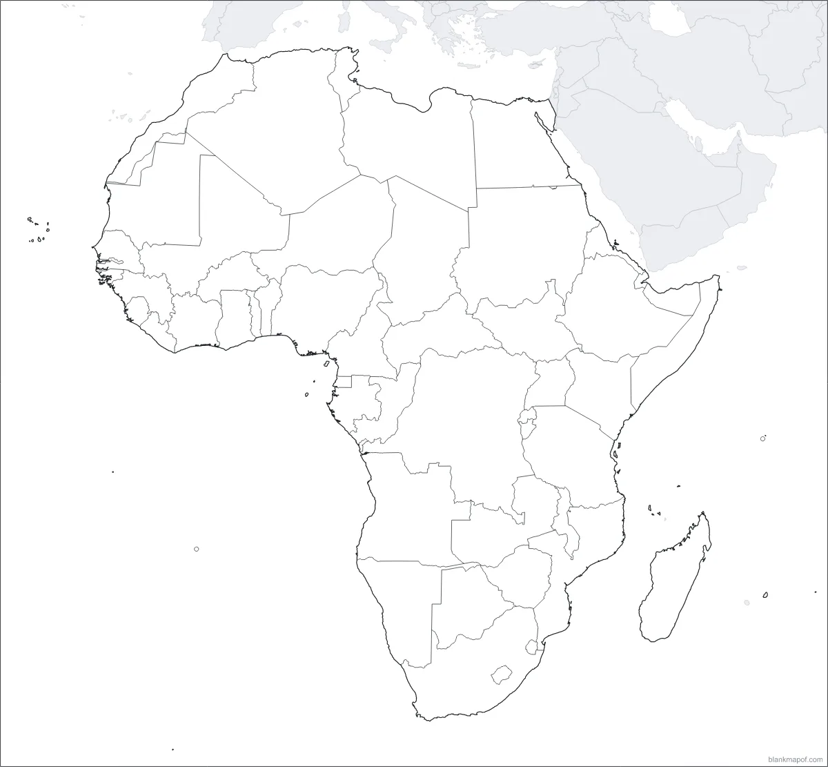
Africa
All 54 countries, from Morocco to South Africa.
Antarctica
The frozen continent, centered on the South Pole.
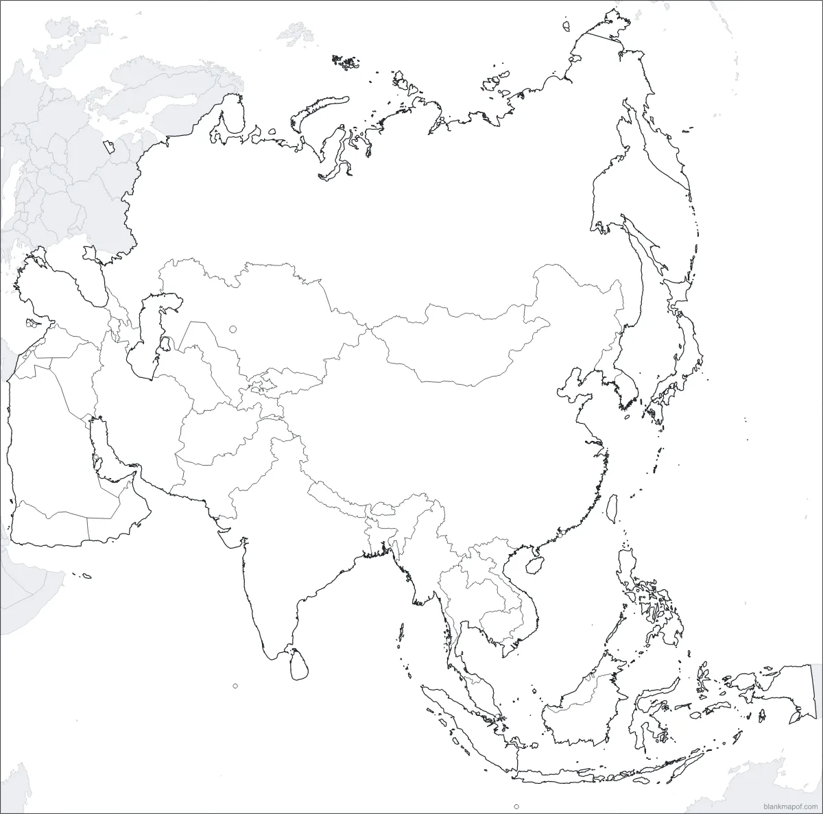
Asia
The largest continent: 48 countries from Turkey to Japan.
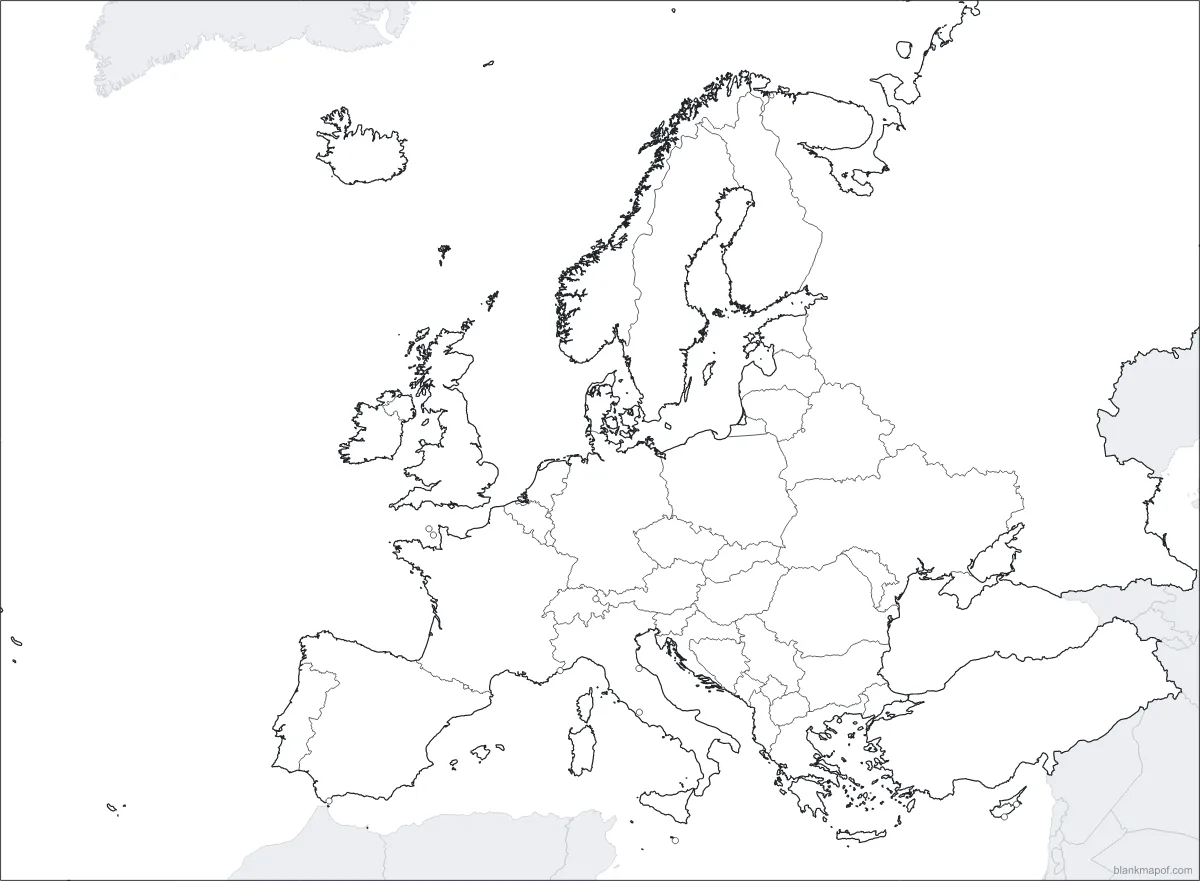
Europe
44 countries, from Iceland to the Urals.
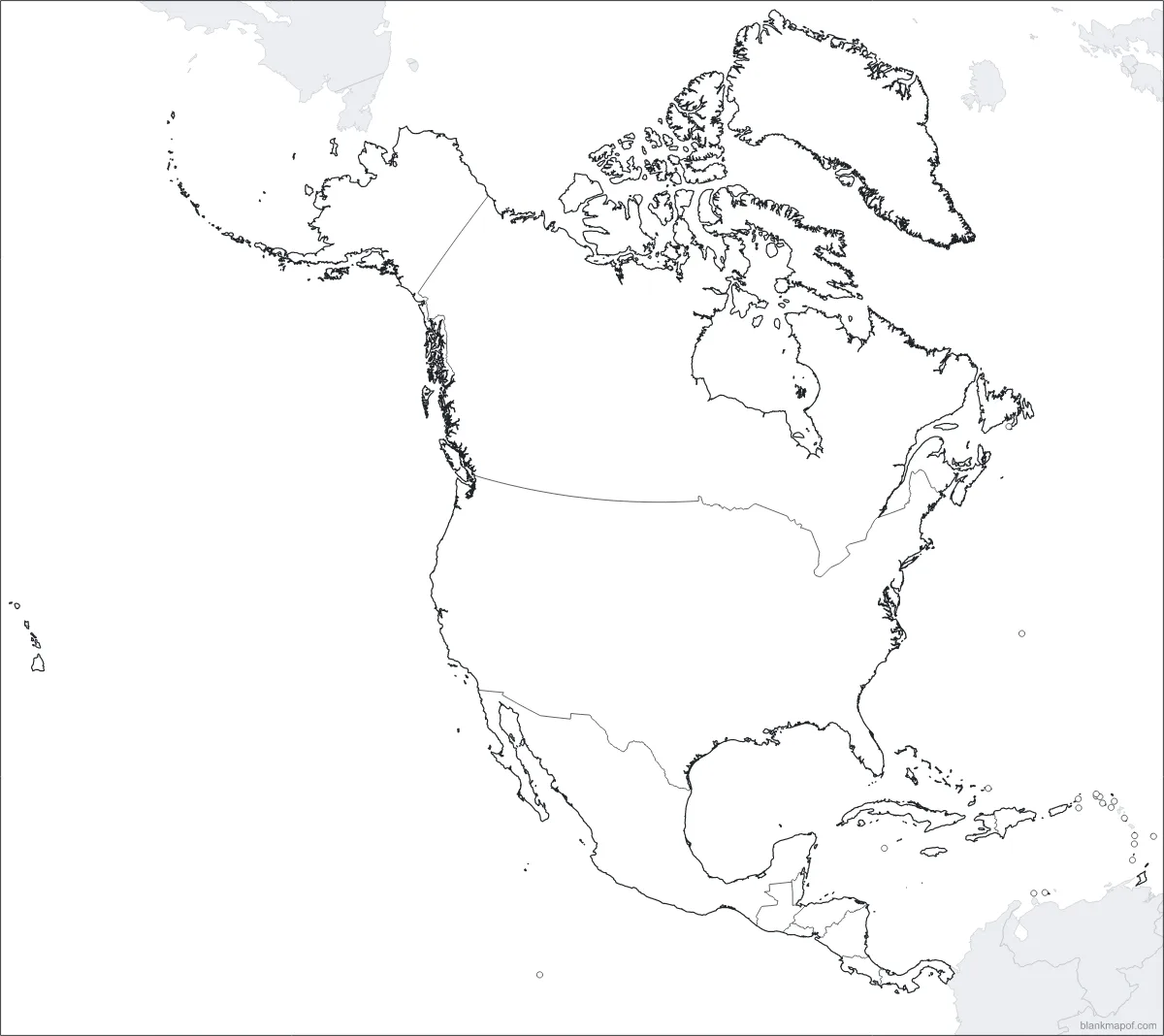
North America
Canada, the US, Mexico, Central America and the Caribbean.
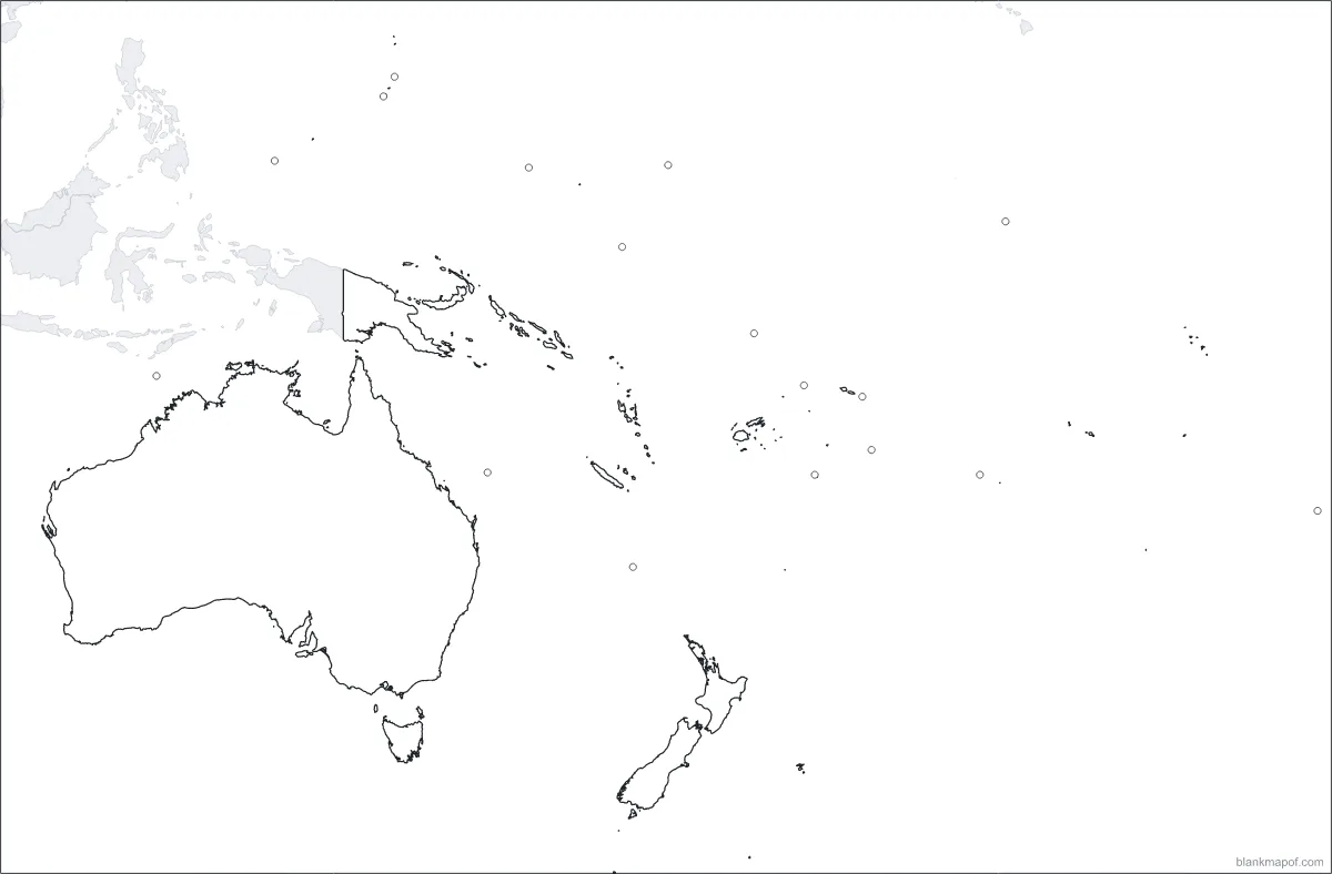
Oceania
Australia, New Zealand and the Pacific islands.
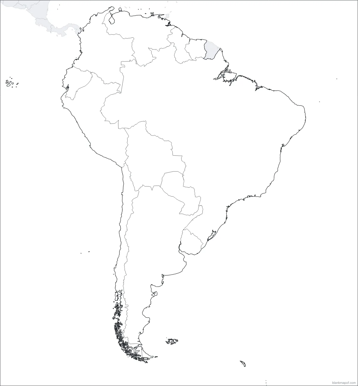
South America
12 countries from Colombia to Tierra del Fuego.